[wpdevart_like_box profile_id=”” connections=”6″ width=”300″ height=”550″ header=”0″ locale=”en_US”]GeoCache
16. Oyster Dome – Burlington, Washington – N 48° 37′ 37″ W 122° 24′ 54″ – 3.5 Star, Hike or Walk to your destination
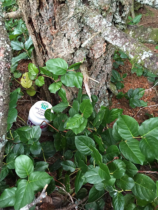
Medium Container
Ready, Set, Seek…
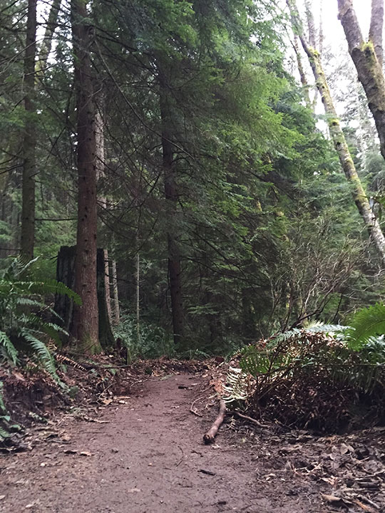
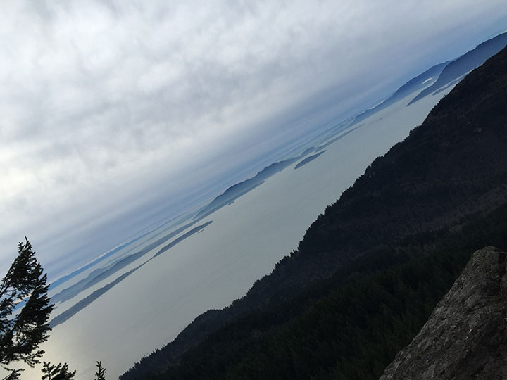
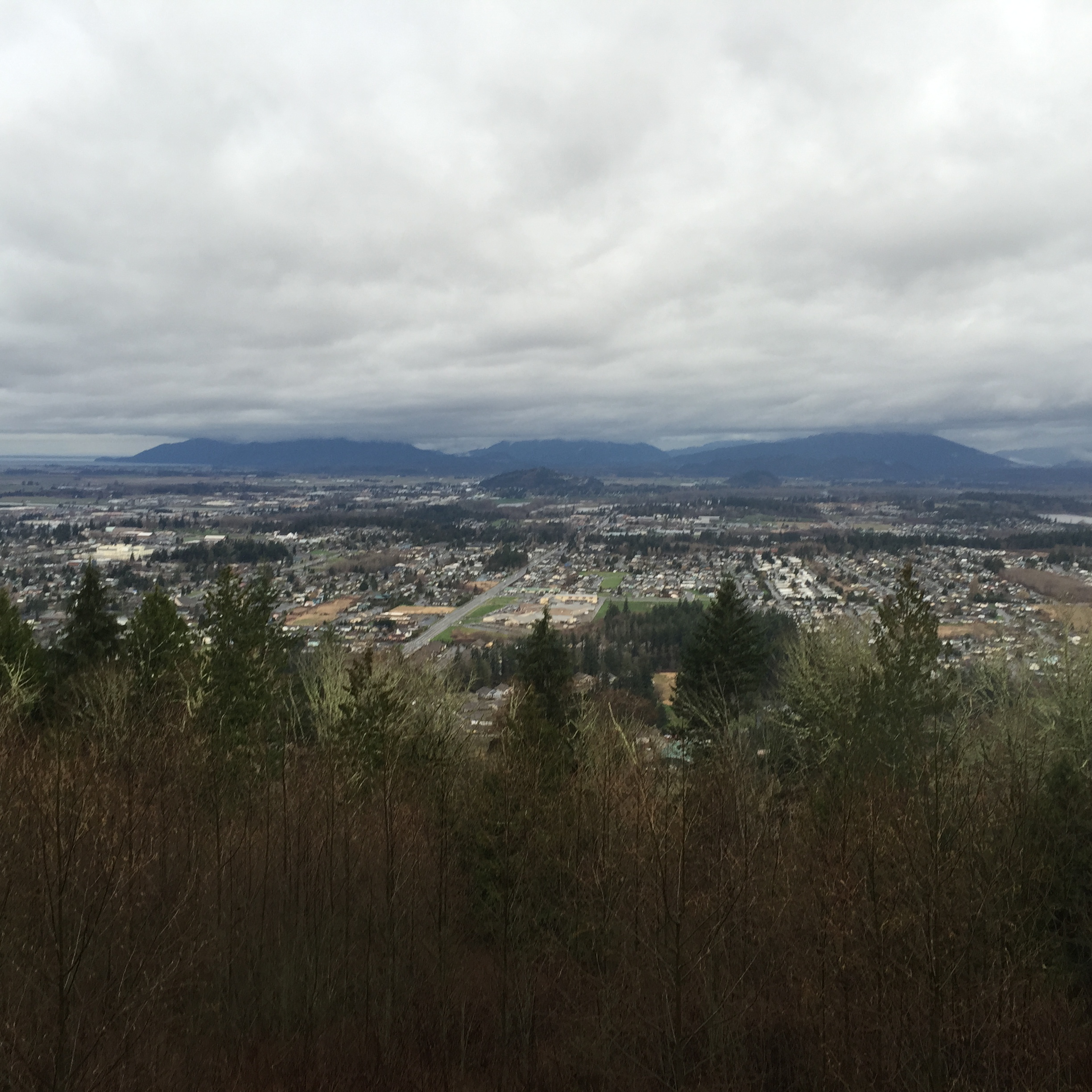
The trailhead is located along Chuckanut Drive. The trail climbs steeply, crosses a creek, and heads left on the Rock Trail. One-tenth of a mile past the creek crossing, you will emerge from the forest onto the rocky promontory called Oyster Dome. Arrayed before you are the Skagit River flats and Anacortes to the left. Lummi Island and Orcas Island are in the foreground and background, respectively, to the right. Samish Bay is below you, and in the distance are Vancouver Island and the Olympic Mountains. Birds of prey, including bald eagles, may be viewed.